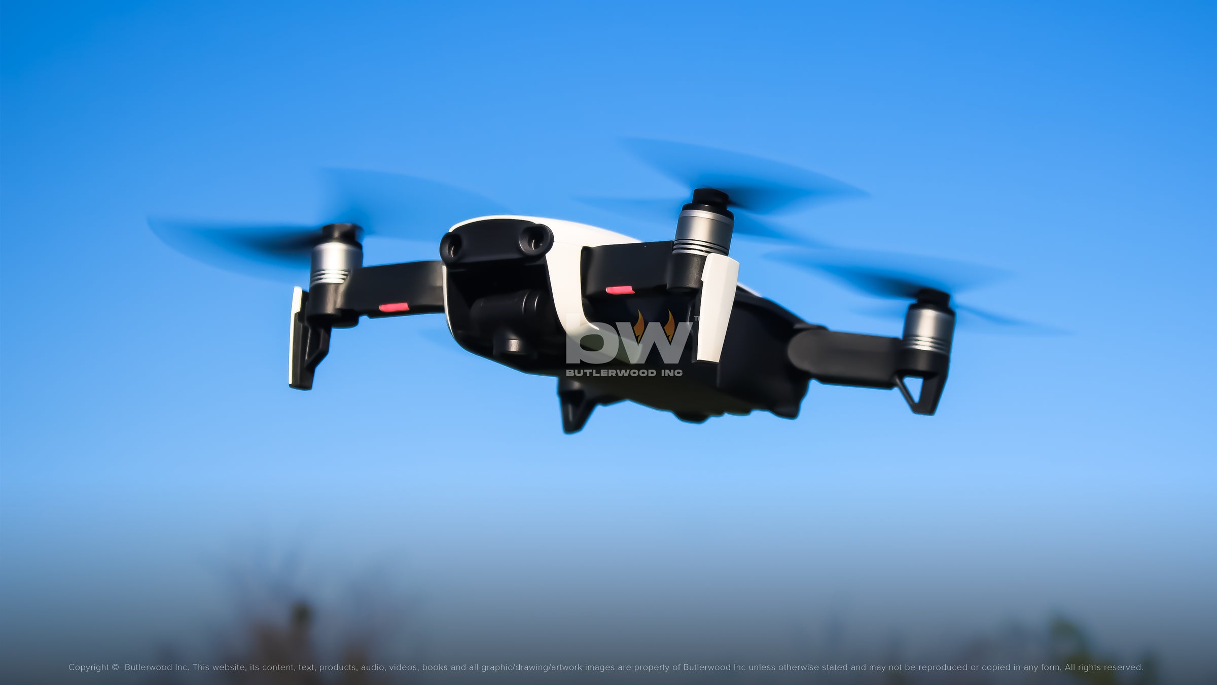
Agricultural Drone Surveying
Agricultural Drone Surveying
 Skip to content


Agricultural drone surveying can help growers reduce costs and increase the economic output of their land. By accurately capturing weather patterns and land movement, drones can help growers make more informed decisions about their crops and land. Drones can also be used to survey land for potential pests or diseases, and to make improvements to crop yields. Agriculture drone services are becoming increasingly popular because they are efficient and reliable and can be used to solve a variety of problems for growers.
ORTHOMOSAICS
Orthomosaics is a process that provides a single, high-resolution image of the job site that has been orthorectified to account for camera lens distortion and the earth's curvature. This image can be used for a variety of purposes, such as planning, surveying, and site inspections. By stitching various orthomosaic images together, you can create a 3D model that gives you a complete view of the site. This model can be used to identify potential safety hazards, locate missing objects or equipment, and assess the overall condition of the site.
Farmers can greatly benefit from agricultural drone services in order to stay flexible in their land management obligations. By using aerial drone photography, farmers can identify potential areas for crop cultivation, assess the condition of soil and water resources, and make informed decisions about land acquisition. This helps farmers to stay ahead of their competition and take advantage of opportunities that may come their way. In addition to this, agricultural drone surveying also allows farmers to monitor their crops in real time, which provides them with valuable feedback that can help them improve their yield.
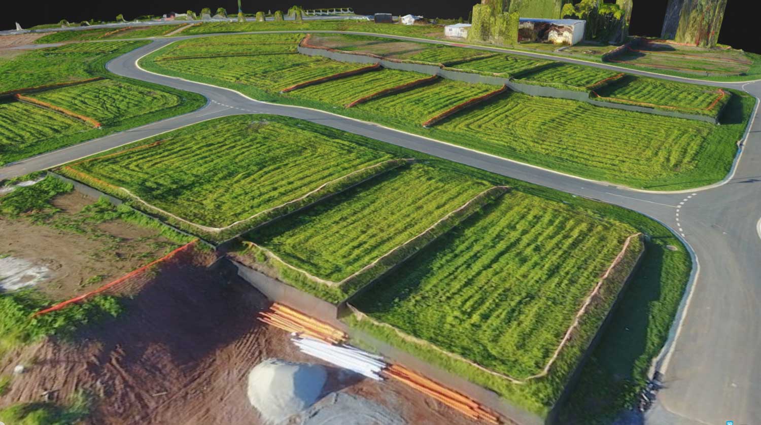
3D MODELS
3D models provide a complete virtual representation of a particular area or structure. 3D models can be used for measuring or overlaying CAD designs onto the current project site environment. This allows for easier and more thorough planning for your farm to reduce any obstacles you may face.
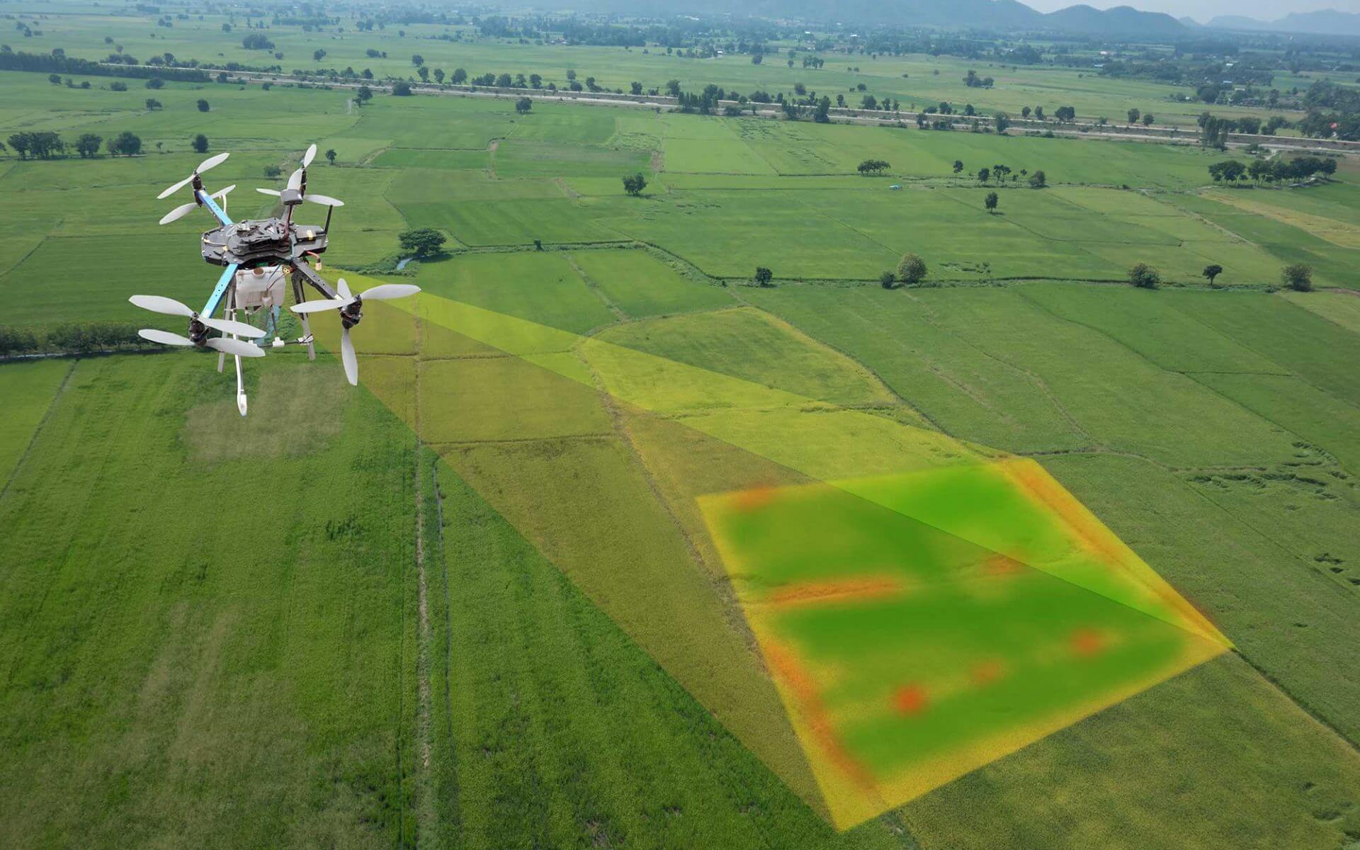
Drones have revolutionized the way we monitor crops and their health. Thanks to land surveying drone technology, farmers can now spot issues like infestation or poor irrigation that were once difficult to detect from ground level. With the help of analysis tools like normalized differential vegetation indexing (NDVI), you can quickly zero in on the problem and adjust conditions to maximize crop yields. Drone precision is also a great way to monitor your crops in real time, ensuring their quality and yield remains consistent over time.
1. Precision agriculture:
Use drone farm surveying to find and address crop disease, infestation, or poor irrigation.
2. Improve yield:
With the help of aerial imagery we can identify where crops are growing poorly and take corrective action quickly.
3. More accurate spraying programs:
Our land surveying drone service helps growers determine when their spray program is too large for the area being sprayed; by using our remote control drones they can reduce the amount of herbicide used on each acre in a field.
4. Beautiful Imagery:
Drone Services can provide you with beautiful, detailed images of your crops and farmlands.
5. Highly accurate:
We use the latest technology to make sure our drones are highly accurate and can fly for hours without a recharge.
6. High-quality cameras:
Our agricultural drone services include high-resolution, waterproof camera systems that can capture images in all weather conditions.
7. Long range capabilities:
Drones have the ability to reach far away areas where traditional methods of monitoring may not be possible or cost effective.
8. Free Consultation:
We are a drone surveying company committed to providing our customers with the best possible results, which is why we offer free consultations on all of our services.
For more information about ButlerWood, feel free to give us a call at any time. We’ll be happy to answer your questions and give you a clear idea of what it is we can provide for you and your farm.
We can provide you a complete Drone Precision services package for your business!